
Waimate’s MTB and cycling tracks
Waimate’s got a bit of range when it comes to riding.
Up in the hills, there’s a growing network of mountain bike tracks with a mix of easy cruisy lines and more technical sections if you want to test yourself.
Then there are the longer rides.
Whether you’re here for a short spin or a longer mission, there’s plenty to work with.
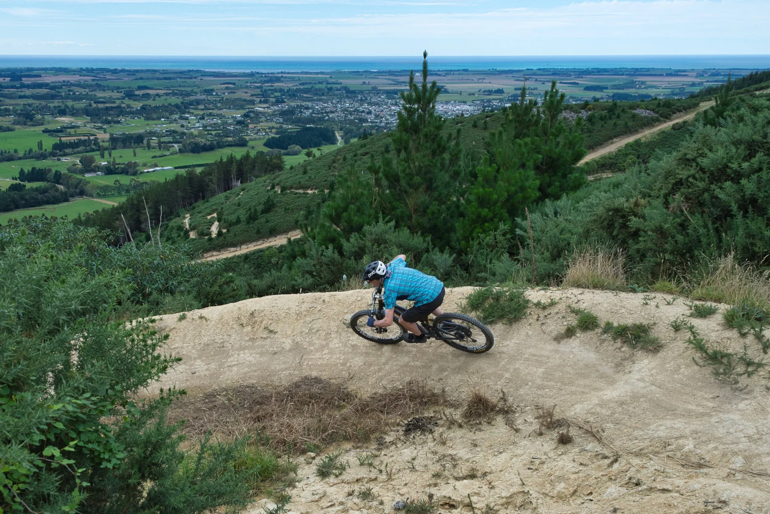
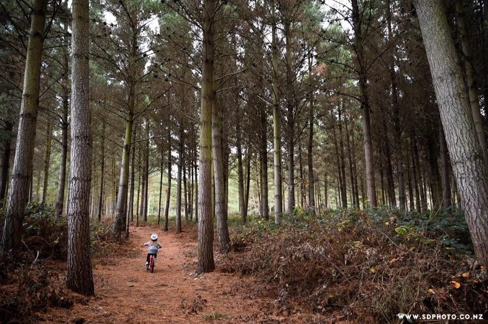
Whitehorse MTB trails
The hills above Waimate are filled with a network of popular trails that you can run, walk and bike - including the well-known Whitehorse Big Easy.
You can start at the bottom or the top of the hill. There are car parking areas at both ends. Trail map signs at both entrances will help you choose your ride.
Bottom carpark at 228 Point Bush Road.
Top carpark at Centrewood Park, Parker's Bush Road.
No dogs.
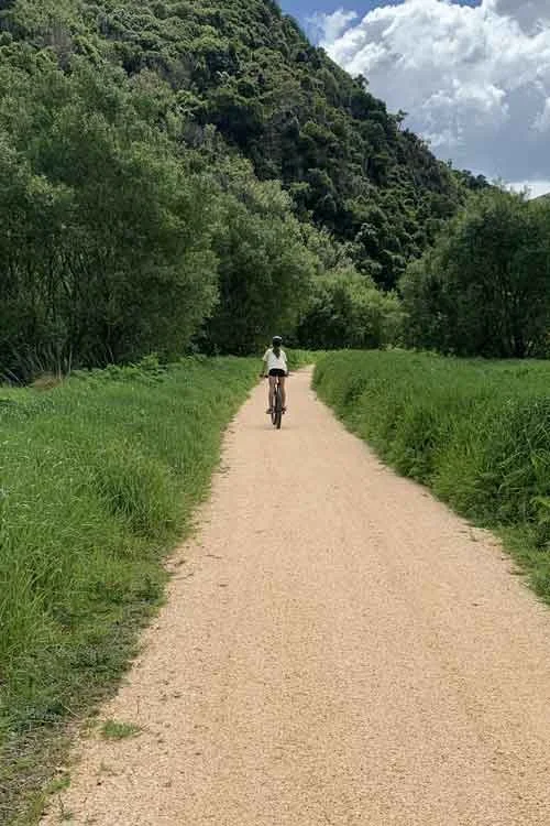
Waimate town trails
Want to stay close to town? There’s a mix of shared and single-use walking and cycling trails in and around Waimate town.
Take your pick or do a combination:
13. Point Bush Track: 1.8km, shared use, two way. Dogs okay.
14. Garlands Track: 0.95km, shared use, two way. Dogs okay.
15. Naylors Track: 0.75km, shared use, two way. Dogs okay.
16. Orbz: 0.76 km, one way (down river). Bike only. No dogs.
17. Barrel Down: 0.45km, one way (down river). Bike only. No dogs.
18. Show up/show down: 0.45km, shared use, two way. Dogs okay.
The Waimate Trail
Te Ara Waimatemate
The first 10km of the new trail is open!
Starting in Waimate, you can run, walk or bike out to Arno Hall.
The open sction meanders along the Old Waimate Branch Railway by the Studholme Bush Scenic Reserve. You'll be accompanied by friendly little piwakwaka/fantails.
It passes Kapua wetland, home to the largest find of moa bones in Aotearoa, before arriving at Arno Hall.
A few notes before you head out:
It’s about 10km one way.
There are no toilets along this section. Use the public toilets in Waimate before you head off.
You can start in Waimate and park on the road by the playground/Salvation Army Hall on Queen Street, or the carparks at Arno Hall or Studholme Bush Reserve.
Please respect all signage and stay on the track. No vehicles or animals where stated on the signs.
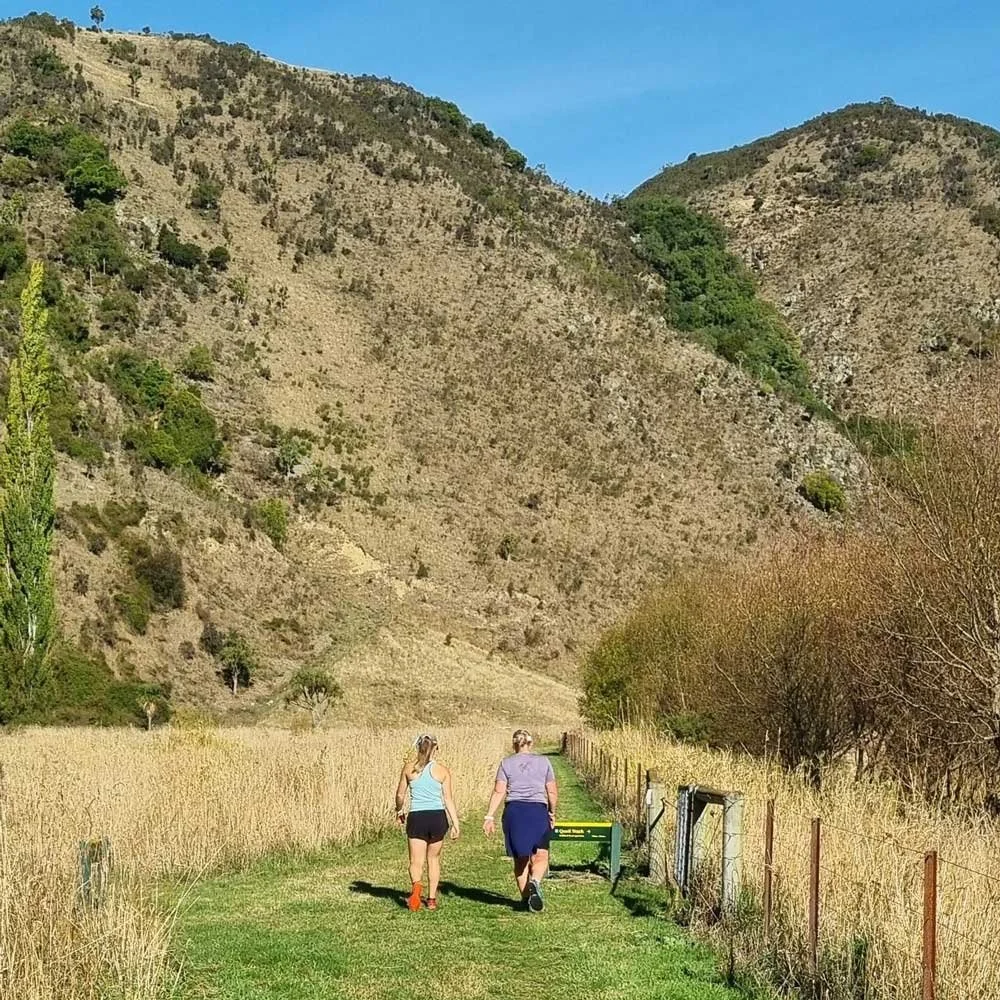
Studholme Bush Tracks
Here you’ll find range of tracks in the hills overlooking the Waimate Gorge, and along the old railway line.
Something for every age and fitness level, from steep uphills to long, winding flats, and a waterfall.
Hilltop views to the Pacific Ocean, and inland to the Southern Alps.
Location: 203 State Highway 82. Parking and signage on the Waimate side of the gorge.
Usage: Walking/running/biking.
Time/distance: From 20 minutes.
Level of Fitness: Low - high.
Dogs: No.
Knottingley Park and Arboretum
A flat loop track around the park and arboretum, underplanted with masses of bulbs. Sheep and horses sometimes graze here, and please respect the animals and don't disturb them. Easy walk in parkland area with beautiful established trees. Suitable for walking and biking.
Location: Two minutes from the centre of Waimate, on Waihao Back Road.
Usage: Walking/biking.
Time: 30 minute circuit, 2.5km.
Level of Fitness: Low.
Dogs: On a lead.
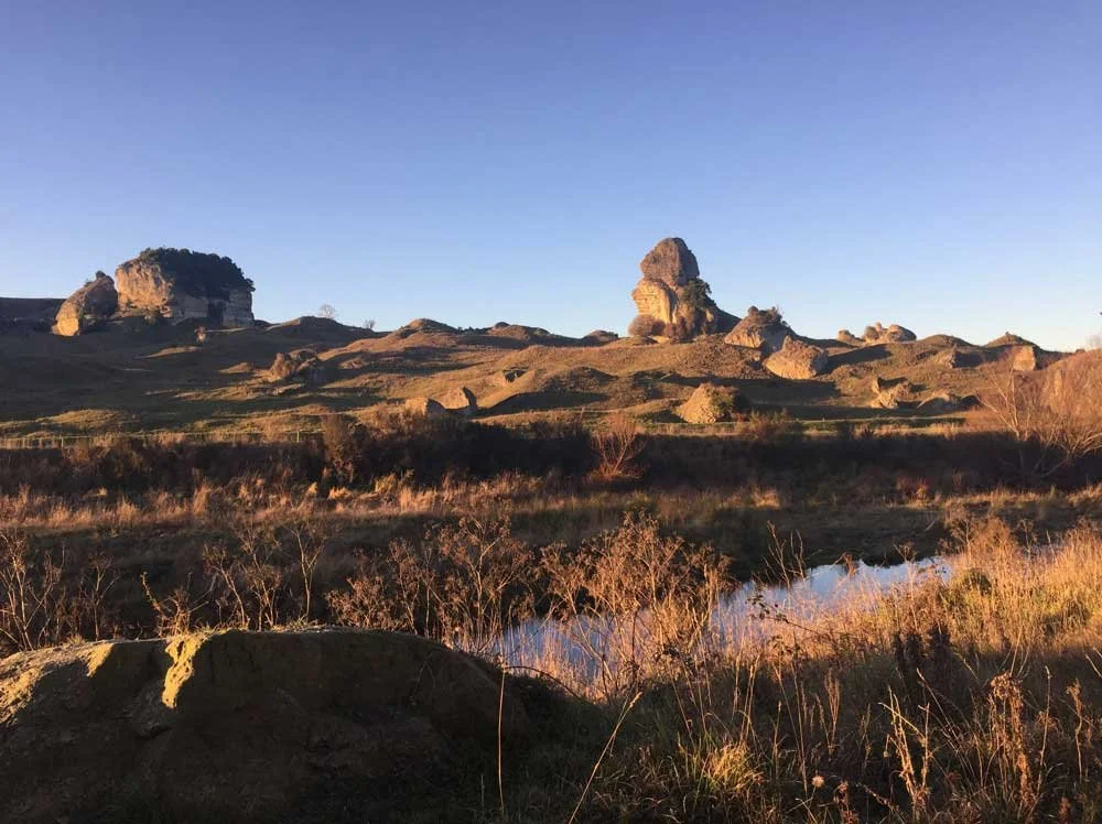
Waihao River Walkway
This walkway runs alongside the south bank of the Waihao River between McCulloch’s Bridge and the Black Hole.
The track offers views of nearby limestone cliffs and unique limestone outcrops. Brown trout and eels can be found in the river and there is abundant bird life along the track.
Part of the track goes through a working farm. Close gates behind you, and don’t disturb stock.
Location: Fifteen minutes southwest of Waimate via SH82 and Kapua Road to McCullochs Bridge.
Usage: Walking/biking.
Time/distance: 45 minutes one way, 1.9km.
Level of Fitness: Low - moderate.
Dogs: On a lead.
Glenavy Track
This flat, approximately 1.2km, track wanders beside a stream under a small pine plantation just off State Highway One. The track is lined by large quantities of blackberry, which in late summer transform into a potential harvest field for walkers.
There are ample picnic places both half-way along the track beside the clear running stream, and at the bridge-end car park. Toilets and several picnic seats make this a very popular stopping point for travellers.
Location:Start at either end of the track: Park on Ruane Street, Glenavy and walk to the track across a paddock on a paper road, or park in the carpark on the north side of the Waitaki bridge.
Usage: Walking/biking.
Time: 45 minutes return, 0.94km.
Level of Fitness: Low.
Dogs: Yes.
Meyers Pass Trail
Start at Serpentine Valley Road, Waihao Downs; or higher up at Waihaorunga, at the intersections of the Meyers Pass and Pentland Hills Road.
You can extend this ride to the 55km 'Pub to Pub' ride. Start at the Waihao Forks Hotel on SH82, and follow the SH travelling the Pentland Hills/Meyers Pass trail onto McHenry's Road, ending at the former Hakataramea Hotel.
If you are after a well-deserved cold refreshment, bike another 3km to Kurow.
Track distance 40km, or 55km.
Track conditions 60% gravel, 40% tarseal.
Grade 2.